Take your measurements to the field
Our mobile app provides offline support, GPS tracking, and advanced PDF export features. Available now for Android.
Mobile Exclusive Features:
- Live GPS Path Tracking
- High-Resolution PDF Reports
- Offline Map Storage
- Point-by-point adjustment via Crosshair
Professional GIS Tools in Your Pocket
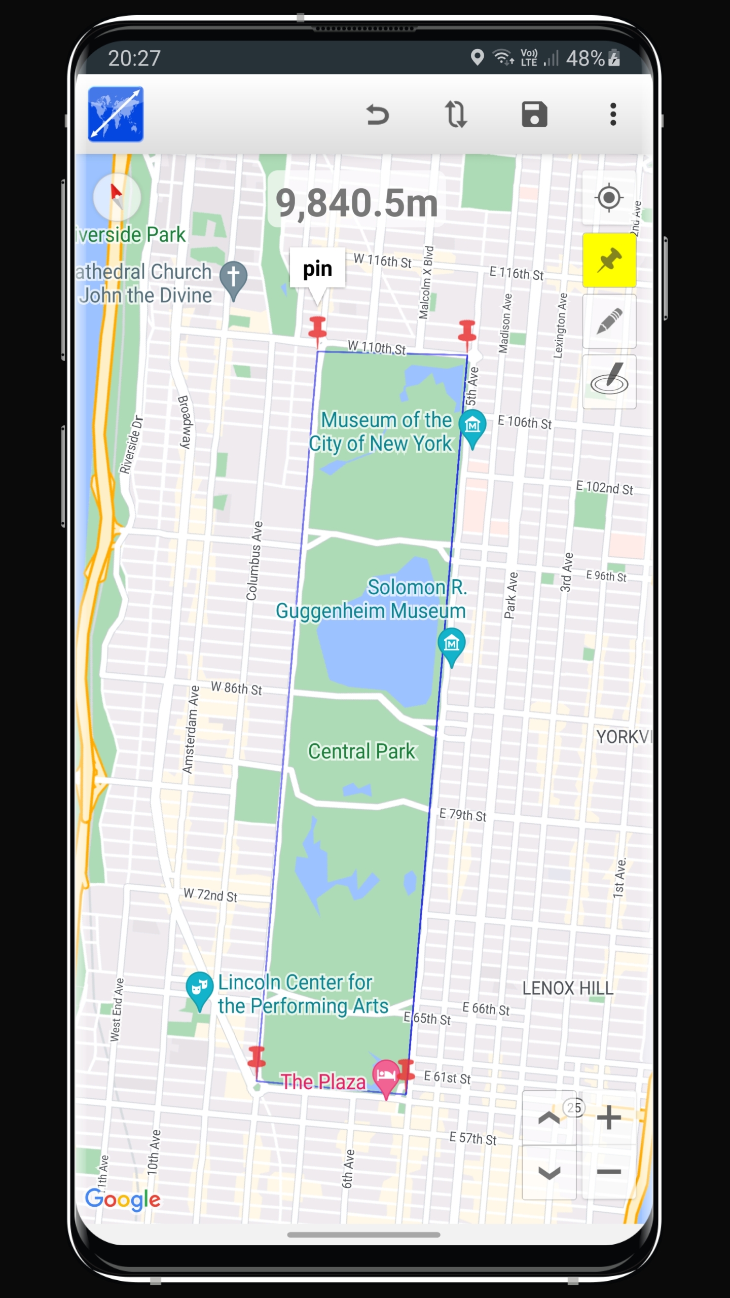
The Maps Distance & Area Calculator mobile app brings the full power of our GPS fields area measure engine to your smartphone. Designed for rugged field use, the app allows surveyors, farmers, and outdoor enthusiasts to record high-precision data even in remote locations without a continuous internet connection.
Real-Time GPS Tracking
Walk your property boundaries and have the app automatically find area and perimeter as you move. Perfect for mapping large fields or complex forest trails where manual plotting is difficult.
Advanced Data Export
Turn your field data into professional site documentation. Generate detailed PDF reports with satellite overlays, perimeters, and specialized acreage calculations to share with clients or team members instantly.
Seamless Cloud Synchronization
Work on the web, continue on mobile. Every measurement you save is instantly synced to your cloud profile. Plan your routes on the desktop map calculator and access them in the field with our measuring app. This cross-platform consistency ensures that your land data is always where you need it.